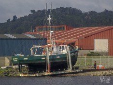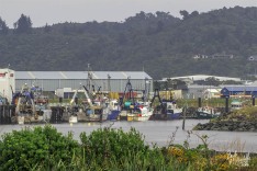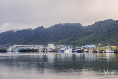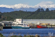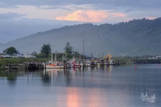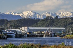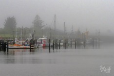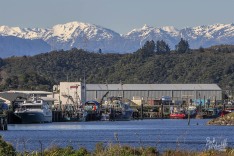
Port of Greymouth

Search by the main part of a name. Don’t use words or numerals under 3 characters long, e.g. Sea Emerald is fine, Te Aroha is not but a search for just Aroha will find it. Galatea II won’t work but just Galatea will find it.
SEARCH FOR IMAGES
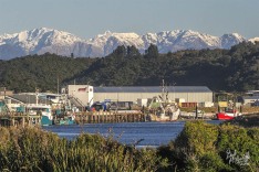
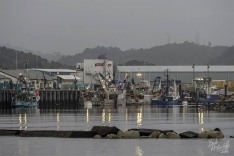
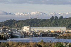
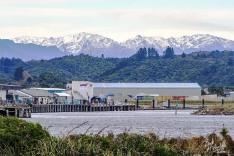
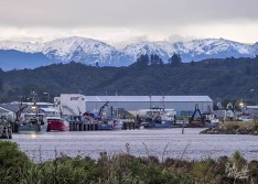
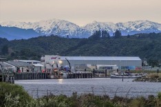
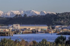
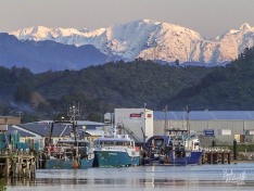
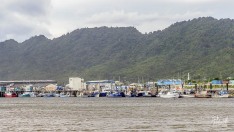
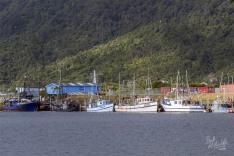
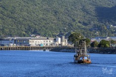
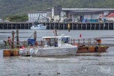
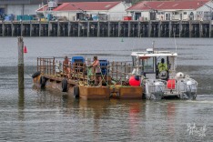
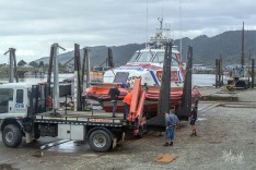
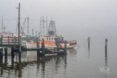
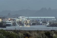
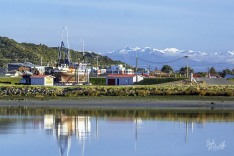
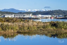
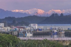
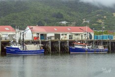
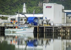
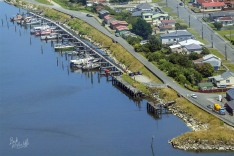
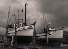
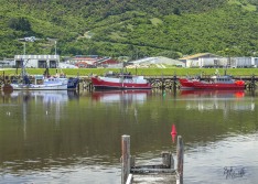
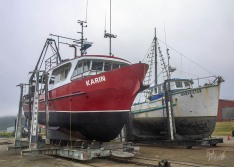
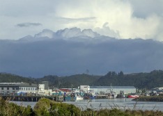
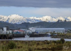
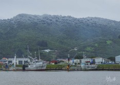
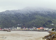
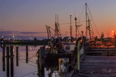
Greymouth has had a port since the gold rushes of the 1860s but major port development did not happen until the 1880s when it became busy with the export of timber and coal which later declined. Today much of the old port has fallen into disrepair. Fishing has become a major contributor to the local economy. According to the Grey District Council “The fishing industry developed in the 1970’s and Greymouth is home to 35 local vessels, up to 60 visiting vessels in the tuna season (January–April) and significant landings of hoki by 20 to 40 metre length vessels in the July-September season.
Map of the Greymouth Port area.
The map shows the entrance to the Grey River from the Tasman Sea. To enter or leave the river vessels must cross the river bar just outside of the river mouth. The bar is a build-up of sand, mud and gravel carried out by the flow of the river. This can produce wave action that can be a hazard to vessels, especially in rough sea conditions.
The orange markers indicate my usual spots for photographing the boats and the port.
GALLERY
Photos are in date order with the newest at the top.

![]()

